
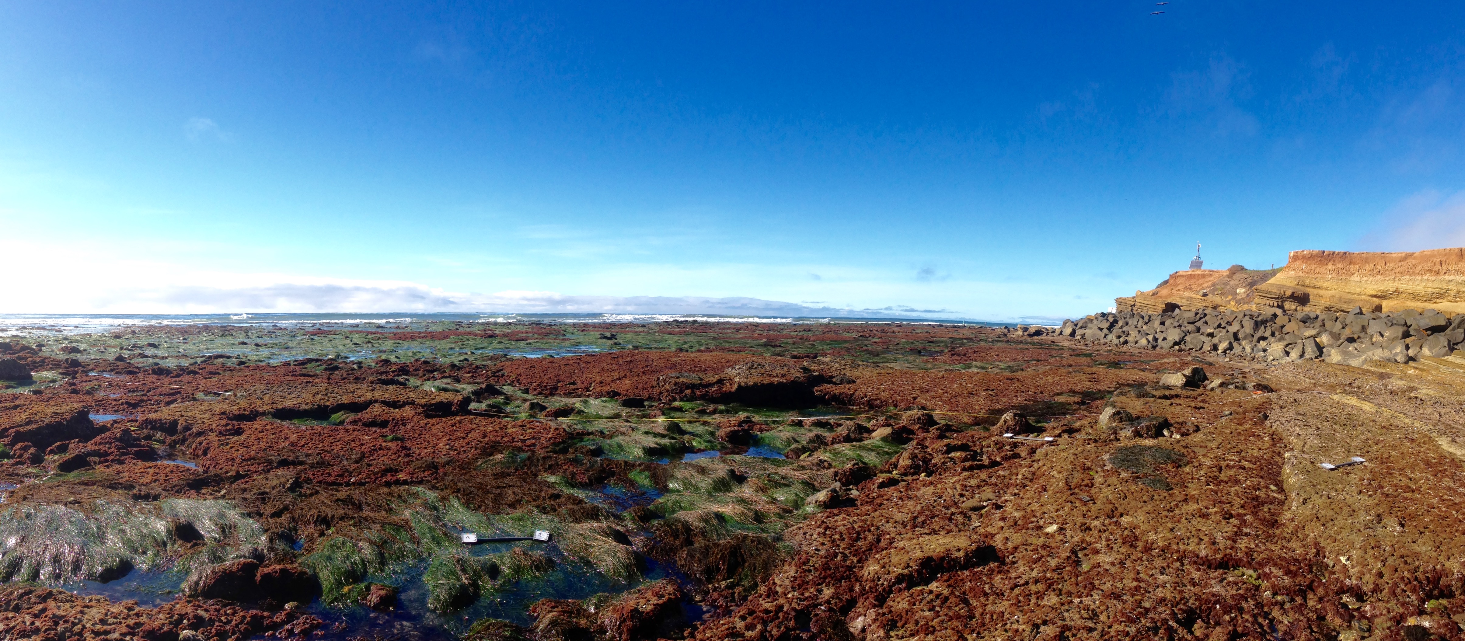
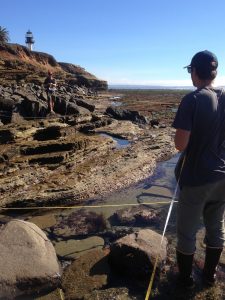
Utilizing high resolution large area imaging and spatial analytical techniques, our research team is producing detailed large area maps and sea level rise vulnerability assessments at two of San Diego’s most highly visited rocky intertidal communities – the Cabrillo National Monument (CNM) and the Scripps Coastal Reserve (SCR). These ecologically and economically important locations contribute significantly to the resource value of our coastline. However, they are under threat due to sea level rise and other global change impacts, such as increased storm frequency and intensity. This project is using a novel imaging/mapping technique to maximize data collection in the field and to provide archival data sets that can be used to inform current and future management of California Marine Protected Areas (MPAs). Further, we are working to create outreach tools to educate the community and encourage involvement in intertidal ecosystem conservation.
Our specific goals are to:
1. Collect baseline imagery, create habitat maps and construct digital elevation models of two important intertidal areas.
2. Describe spatial patterns of intertidal communities and assess changes in zonation and habitat availability as a result of projected sea level rise and storm scenarios.
3. Develop outreach tools to foster stewardship of San Diego’s rocky intertidal ecosystems.